From LinkedIn (with video):
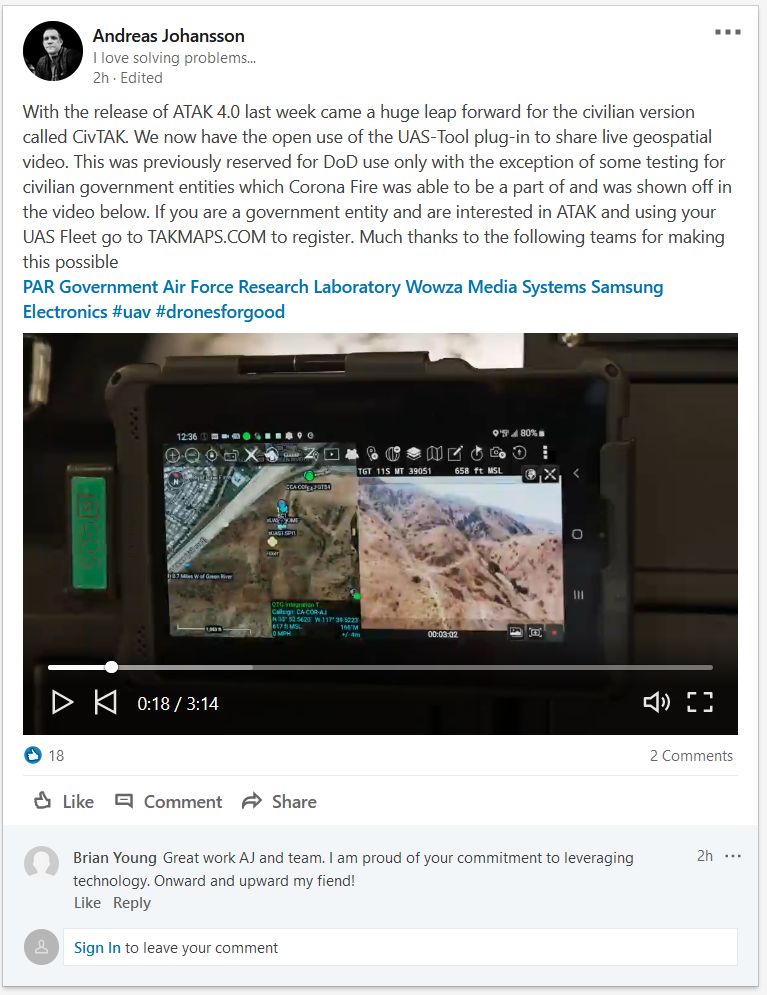
With the release of ATAK 4.0 last week came a huge leap forward for the civilian version called CivTAK. We now have the open use of the UAS-Tool plug-in to share live geospatial video. This was previously reserved for DoD use only with the exception of some testing for civilian government entities which Corona Fire was able to be a part of and was shown off in the video below. If you are a government entity and are interested in ATAK and using your UAS Fleet go to TAKMAPS.COM to register. Much thanks to the following teams for making this possible.


