From StateScoop:
“A lot of times you get in the woods and you’re not always sure where you are or where the fire is,” said Ben Miller, the director of the Colorado Center of Excellence for Advanced Technology Aerial Firefighting , a division of the state Department of Public Safety that develops new tools for combatting [sic] wildfires.

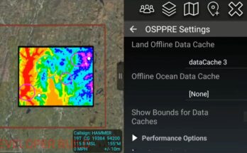
The drone flights in Colorado are part of a project called the Android Team Awareness Kit, or ATAK, a mobile platform first developed by the Pentagon to help U.S. troops track each other’s locations in combat environments. The technology, based on NASA maps, has since been converted to civilian uses.
In Colorado, participants in Miller’s beta test will use their drones to get footage of active fires that can be pushed to apps on the phones of firefighters on the ground. Versions for iOS and Windows are being developed in addition to an Android version, as mobile phones vary from firefighter to firefighter, Miller said.
When ATAK and its sibling versions are ready to be deployed statewide, firefighters in Colorado’s wilderness will have a better sense of where the flames begin and where their comrades are.
“There’s a cool feature we’re looking at that when we point our drone at a hillside, it uses this augmented-reality display to put a dot where people are located,” Miller said. “We think that’s going to be huge. Maybe I’m a crew boss on the hillside. Now I know where there fire’s at and where my guys are at.”