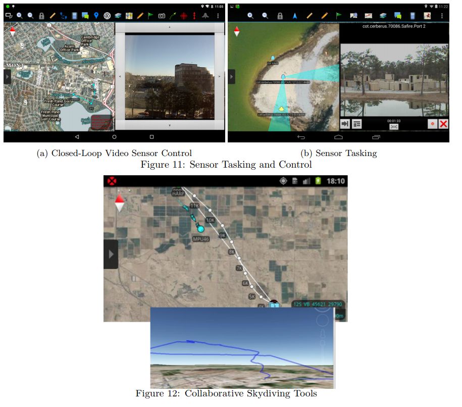
Here’s a research paper that describes the way ATAK works.

A mapping application that allows teams to share relevant geospatial information efficiently and to communicate effectively with one another and command centers has wide applicability to many vertical markets across the Department of Defense, as well as a wide variety of federal, state local, and non-profit agencies that need to share locations, text, photos, and video.
This paper describes the Android Team Awareness Kit (ATAK), an advanced, distributed tool for commercialoff-the-shelf (COTS) mobile devices such as smartphones and tablets. ATAK provides a variety of useful SA functions for
soldiers, law enforcement, homeland defense, and civilian collaborative use; including mapping and navigation, range and bearing, text chat, force tracking, geospatial markup tools, image and file sharing, video playback, site surveys, and many others. This paper describes ATAK, the SA tools that ATAK has built-in, and the ways it is being used by a variety of military, homeland security, and law enforcement users.


